
The winter solstice – midwinter. The time when we have the longest night of the year and the shortest period of daylight. In exact terms, this means that our daylight will be 9 hours 25 minutes and 11 seconds long today in Taranaki. Tomorrow will have two seconds more of daylight. I looked it up. Close to nine and a half hours of daylight in midwinter is still quite a lot compared to many locations but it is our shortest day.
For the northern hemisphere, the start of the new year comes within ten days of the winter solstice whereas for us, New Year comes as we enter mid-summer.
It is perhaps little considered that the calendar we all use dates back to Julius Caesar in 45BC, refined to its current form in 1582. Certain things are fixed in time including the length of the individual months and dates for equinoxes and solstices because these are derived from earth’s position in the solar system.
The arbitrary date of New Year being January 1 is not fixed by such external considerations. It is a convenient convention, that is all. The world does not come to a halt because Chinese and Indian peoples have long continued to celebrate the start of a new year at different times. So too Maori, who linked the start of a new year to Matariki – the rising in the sky of the star formation known as the Pleiades and the start of the new lunar year.
It just so happens that Matariki usually occurs within ten days of the winter solstice in New Zealand, though it is a little later this year. Here in the south, the indigenous people observed astronomical patterns and arrived at a time for new year that corresponds almost exactly with the time determined in the northern hemisphere. It is six months out of step as far as the calendar goes but synchronised with the seasons.
Apparently, Matariki was widely celebrated until the 1940s but dropped from favour until its relatively recent revival. There is now a growing focus on Matariki and there is certainly a logic underpinning it that is ours, all ours, independent from the dominant northern hemisphere cultures.

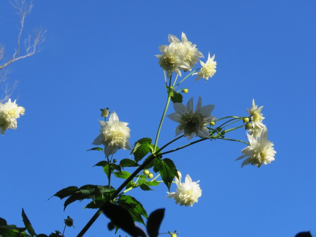
I do not expect to see the first bloom of the season on our Magnolia campbellii for another 10 to 14 days but, to coin a phrase from television cooking shows, here is one I prepared earlier. July 4 in a previous year.
This was a revelation to me because I have long declared that the opening of the Magnolia campbellii in our park signals the start of a new garden year. And the first blooms appear more or less in time with Matariki. North meets South meets the Far East because our form of pink M. campbellii originated from Darjeeling in India. In the wild, most M. campbellii are white but in Taranaki where we live, the most common colour is pink.
Magnolia campbellii is always the first magnolia of the season to open for us. Our tree was one of the first plants Mark’s father, Felix, put into the south sloping paddock behind the house in the 1950s.

And another I prepared earlier – Magnolia campbellii at the Anglican church in our local town of Waitara, though a little later in July when it reaches full glory
The first bloom opening ten days or so after the solstice is very specific to our plant which is in the coldest part of the property. Even just two kilometres away, my friend’s plant had already opened its first bloom on June 16 and I photographed the same plant by St John’s Church in the local town of Waitara with a few blooms open on May 15. Waitara is clearly significantly warmer even though it is all of seven kilometres from us.
The winter solstice heralds the worst of winter. We drift slowly into winter and after the shortest day of the year, we get maybe four to six weeks of dreary weather through to early August, but never unrelentingly so. To see the opening of the magnolias means that, in the depths of winter, we are already seeing the palpable arrival of spring.
In terms of shaking up our world view, this map is fascinating. It shows the traditional world map that we all know in pale blue with the actual size of countries in dark blue. The difference is stark and comes down to the Mercator projection, devised in the main to assist marine navigation back in history – in 1569, in fact. Some of those northern countries are… well, quite a bit smaller than we have been led to believe.
It could, of course, equally be shown like this. It is only convention that puts the north at the top of maps and globes, nothing whatever to do with physics, geography or logic. The equator could have been chosen at the top or the South Pole and, prior to the early 1600s, they often were.
Amusingly, one of the map issues where there has been something of a change of heart in these times of pandemic is when New Zealand is left off world maps entirely. If you do a net search, this is more common than you might think and has been a source of considerable indignation. Now that we are more or less Covid-free (slightly less than more this week, but those five cases are all border-related), there is strong support on my social media for the idea of dropping NZ off ALL world maps. Many of us do not want to make it easy for people from other countries to find us at this time in history.
 We are now well into what
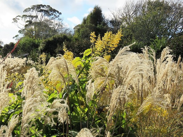
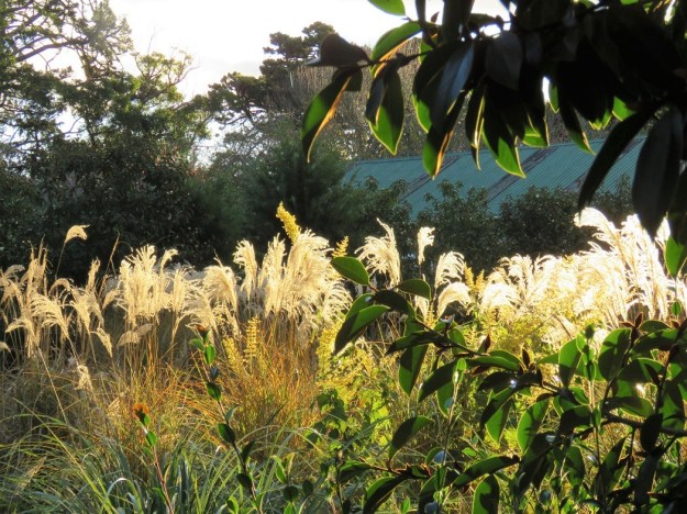
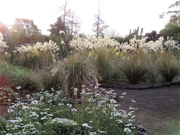
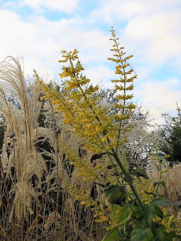 I have finally found a place where this large yellow salvia can grow with sufficient space and it is a late autumn – early winter highlight. We have never had a name on this variety so if any readers can identify it for me, I would be grateful. It stands a good two metres tall so it is a large plant to accommodate. *** Now identified as Salvia madrensis, thanks readers.


 The Prunus campanulata, that is. We farewelled the person – Mark’s Dad – back in 1997. The magnolia named by Mark for him continues to thrive here and we have several specimens planted around the property, including the original plant. The prunus – we have just the one and it may not pull through.


